Where Hartford County intrudes into Litchfield County, that’s where I’m from. Just into the intrusion actually. Like, if we gave it to New Hartford as part of a grand rectification to repatriate the Southwick Jog, it’s difficult to say if we’d be part of the deal or not without squinting.
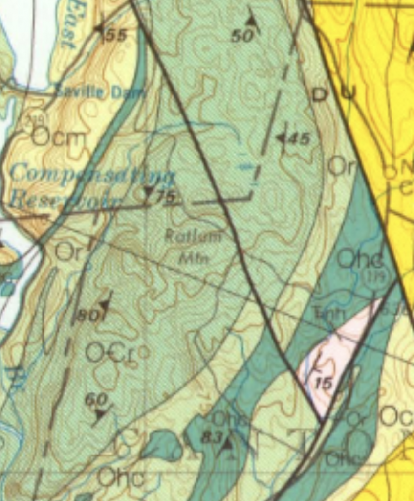
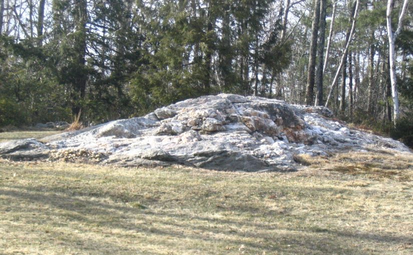
We lived high on a hill in the region of Connecticut’s Western Uplands, our yard rising to an outcrop of the Rowe Schist bedrock of Ratlum Mountain.1 Rocks there sparkle with mica, which is hard to capture on a camera but produces a dazzling effect in person.
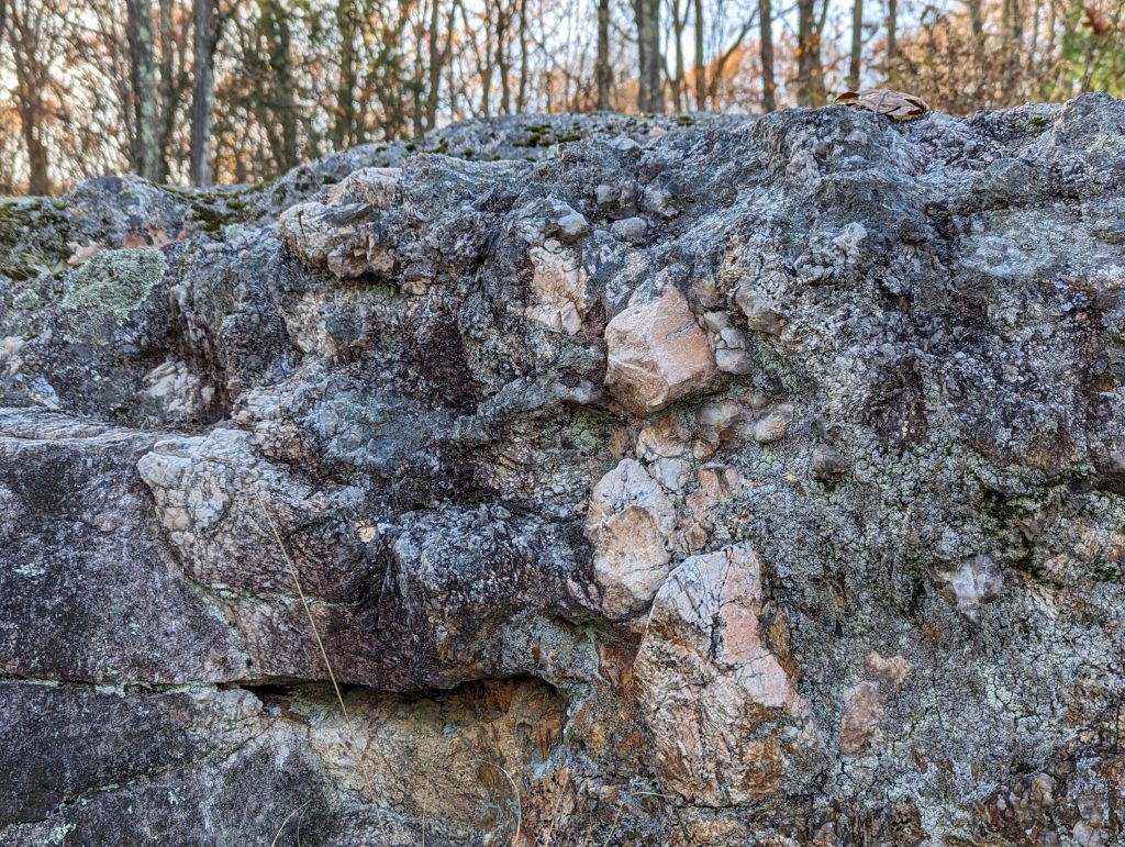
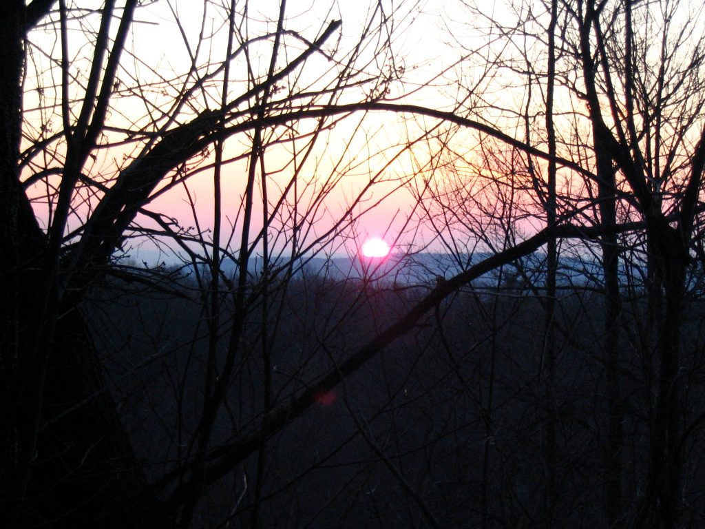
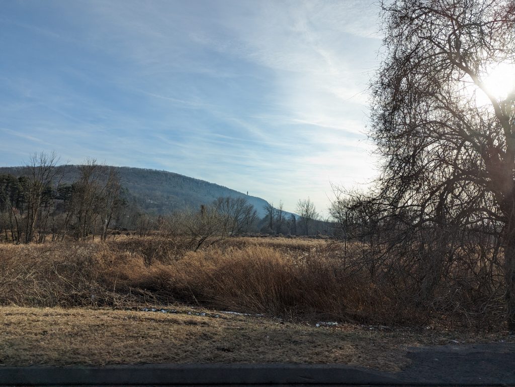
That bedrock was a jungle gym for us kids. Though it looks rough, I mastered running straight across it, front to back. From there, especially in winter when the foliage thinned, there was a clear view out of the mountains, across to the mighty Traprock Ridges that split the central valley.
It was there, but also digging through rocky topsoil (“rock farming”), driving through winding hill roads and up the mighty Avon Mountain that set me up to appreciate that someone went out and wrote the perfect guide for a Connecticut-specific (lay) geology enthusiast.
Bell’s Book
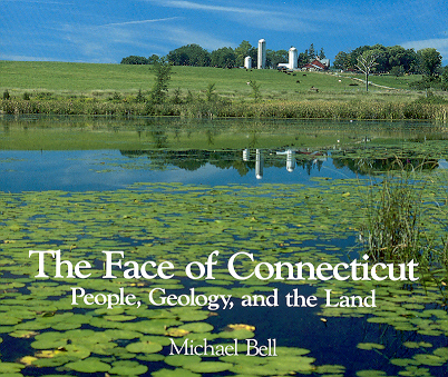
The Face Of Connecticut is divided into two parts: a the first is a region-by-region description of the terrain with a history of land use. Of interest to uplanders like myself is the knowledge that the forests are in fact quite young. Local lore points out that in New England the oldest trees are the ones growing into stone walls, but I don’t think I really took that to heart, no matter how many stone walls I saw running abandoned through forests, or huge trees I saw along them.
The second section starts off slow with Connecticut’s ties to the history of geological science, used as a way to explain the history of the field. Having already read Annals Of the Former World–constituent volume Basin And Range is name-checked here–this wasn’t terribly new to me. What’s exciting, however, is the focus on New England specifically, especially of the creation of the mountain ranges and, perhaps most engaging, the story of the Central Valley (also called the Pioneer Valley in Massachusetts.) The filling in of a rift that almost became the Atlantic Ocean, impingement by lava flows, and the tilting of those layers to form the awe-inspiring traprock (basalt) formation visible from miles away is an adventure on a geological timescale.
The Internet Mystery
The book was published in 1985 by State geological and natural survey of Connecticut as “Bulletin 110.” An exhaustive list of Bulletins wasn’t forthcoming. When I went to look for some maps I could use to try and locate my old stomping ground in the bedrock, I found something curious: the entire book, online, in immaculate HTML. There’s no about page explaining it and the archive barely knows about it. In fact I was so worried it would disappear that I immediately downloaded the whole thing and hosted it on Orbital Fortress and also on the the Internet Archive.
The mystery of who was hosting it, at least, was easily solved: the index page on the IP address told us that it was the Talcott Mountain Science Center And Academy’s “project and secondary server,” copyright 1998-present. That’s probably why the images are disappointingly small, I wonder if they’ve been hosting this site since then!
It was no small undertaking, I imagine, circa 1998 (let’s say) to create such web book. It’s got a fully working index with links! It’s broken up by page! Who created this relic and why? It’s presented (presumably) exactly as the 1997 printing of the book. The archive goes back to 2016, but how far back do links to it go?
It has since disappeared, Talcott’s server presumably receiving a new IP or going offline. Just goes to show: if you see a cool old website, save it!
1: Not, one might note, Ratlum Mountain Schist, which is on the western side of its namesake, not the summit.